Bay of Islands Part 2 – Waitangi Treaty Grounds

Carving on the stern of the Waka

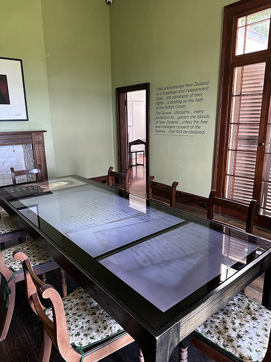
Bay of Islands is also home to the Waitangi Treaty Grounds, the place where the Treaty of Waitangi was originally accepted and signed by local tribes in 1840.  The treaty is the foundational document of New Zealand because it sets out the rights of the Maori and the British in occupying and governing the islands.  The agreement was necessary because the Maori were being harassed by the French and by sailors who brought trouble to the island.  In addition, British settlers were coming.  Trouble was all around and the Maori felt the need for protection.  Some were convinced the British would keep the French out and they would use the white man’s laws to keep the Europeans coming to the islands under control.  They were also convinced to sign a document that did not exactly state those terms.  

The meaning of the Treaty, particularly the division and preservation of rights and powers, is still debated.  The issue is that the treaty was written in English and translated into Maori.  The meanings of several words differ so they don’t say the same thing. The Maori believed they would be left to govern themselves and that their interest in their lands would be preserved.  The British version says the Maori essentially ceded sovereignty over the islands to the British.  Disputes have raged ever since.  

Interestingly, before that treaty, a missionary helped the tribes draft a Declaration of Independence, which is considered the Maori declaration of sovereignty over the islands.  As explained on the website:

By 1835 a growing desire for international recognition of New Zealand (and its governance) led to a meeting of chiefs at Waitangi. Concerned about the intentions of the growing number of Europeans, the chiefs put their signatures to a document which declared New Zealand a ‘whenua rangatira’, an independent country. He Whakaputanga o te Rangatiratanga o Niu Tireni (Declaration of Independence of New Zealand) was acknowledged and supported by the British Government and continued to make its way around New Zealand gathering signatures until 1839.

The Maori tribes who created this declaration consider it to be the foundational document that undergirds their sovereignty and land rights under the Treaty.  In other words, the agreements and deal making regarding land and governance as set out in the Treaty would be meaningless unless the Maori already possessed the rights in land and governance as asserted in the declaration.  while true you can’t deal what your do not have, I think it is fair to say that to some extent the Treaty has overpowered this document.  

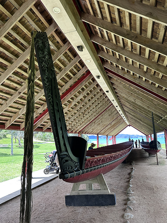
In visiting the Treaty grounds museum, it appeared that the Maori had a strong voice in the presentation of the history and the facts, and it was clearly intended to assert the Maori point of view in terms of the impact of colonialism on the people and their culture.  But it still seemed well balanced.  No one was demonized outright.  You were left to come to your own conclusions.  (I did the demonizing in my head.)

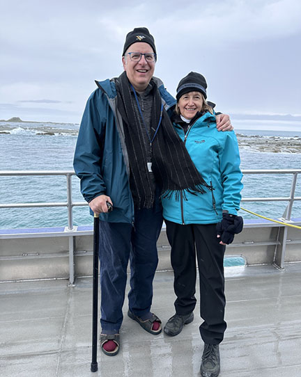
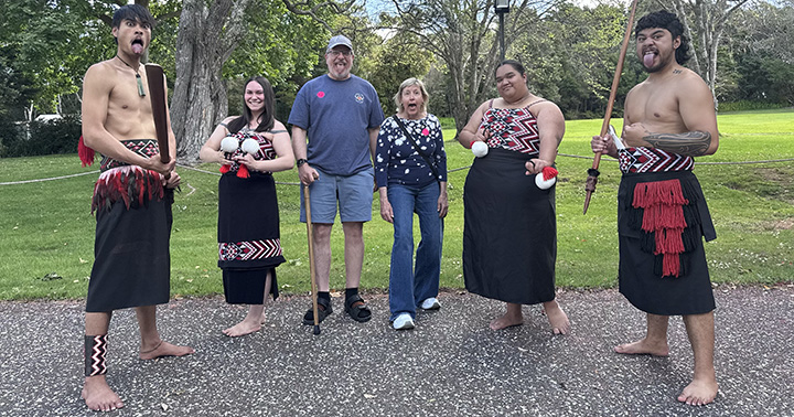
We took a historic tour and ended with a cultural performance by some young Maori.  Here we are after the show practicing what we learned.  I asked if women were permitted to stick their tongue out.  The answers were inconclusive.  Some tribes are okay with it, some not.  I went with it.  

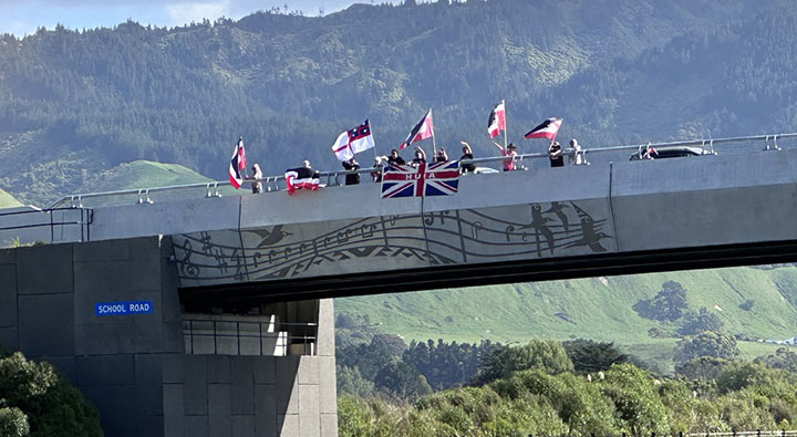
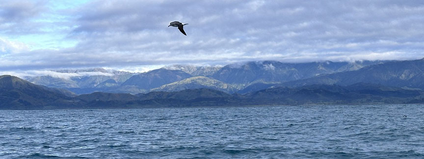
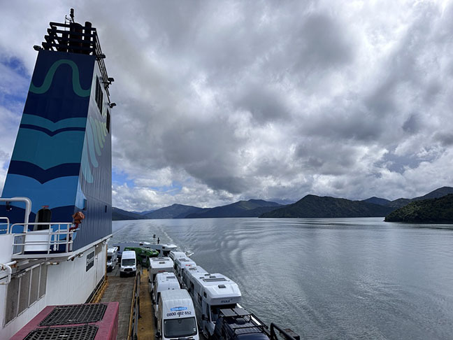
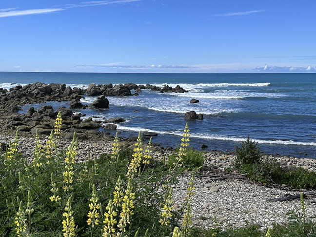
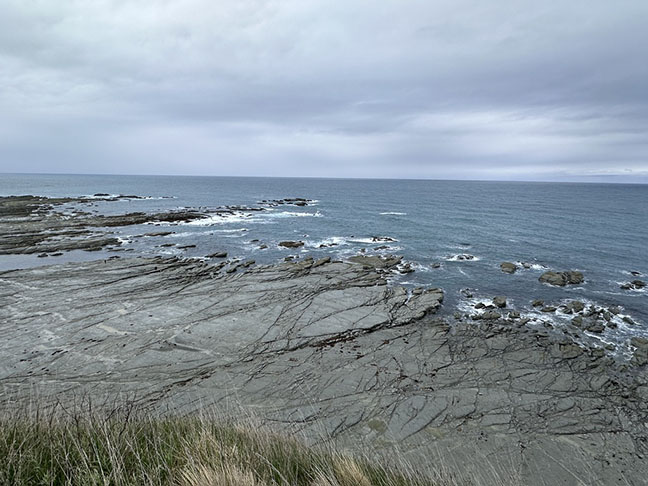
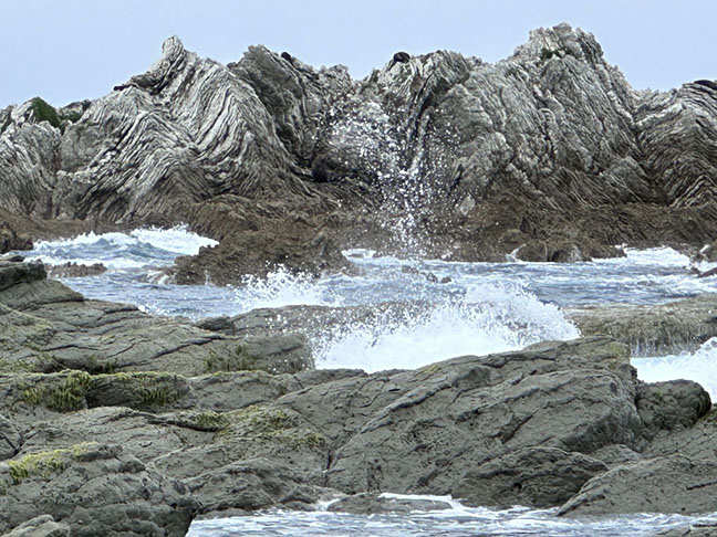
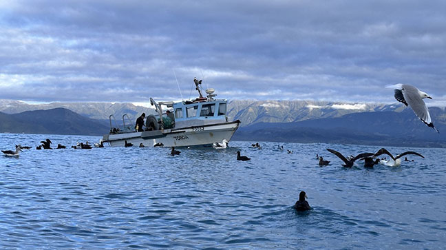
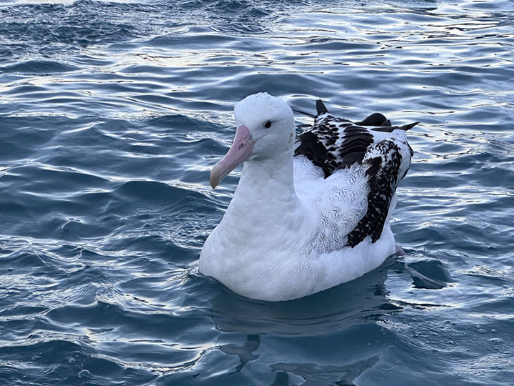
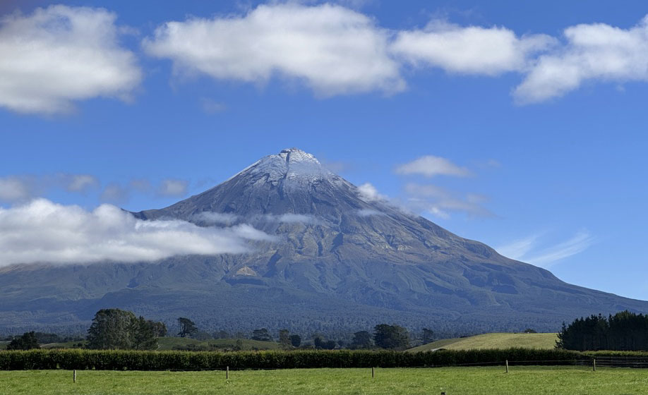
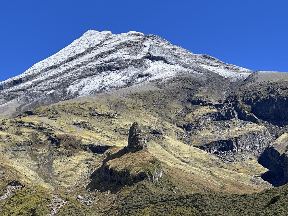
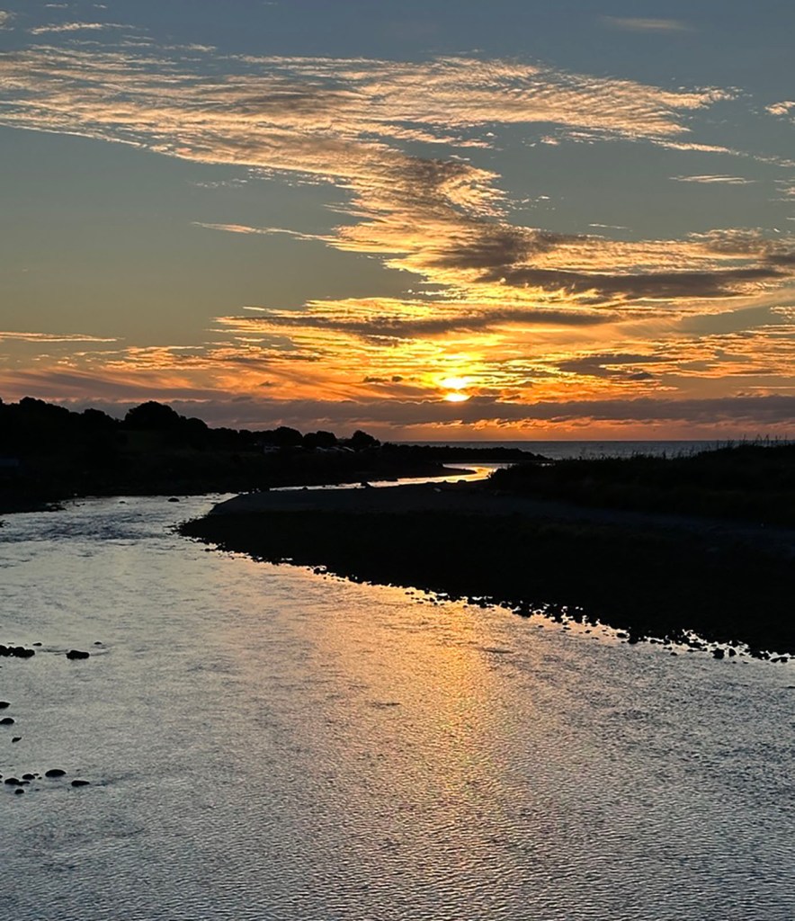
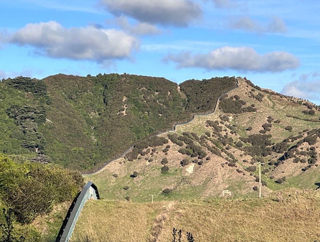
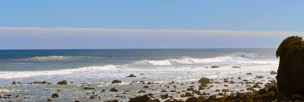
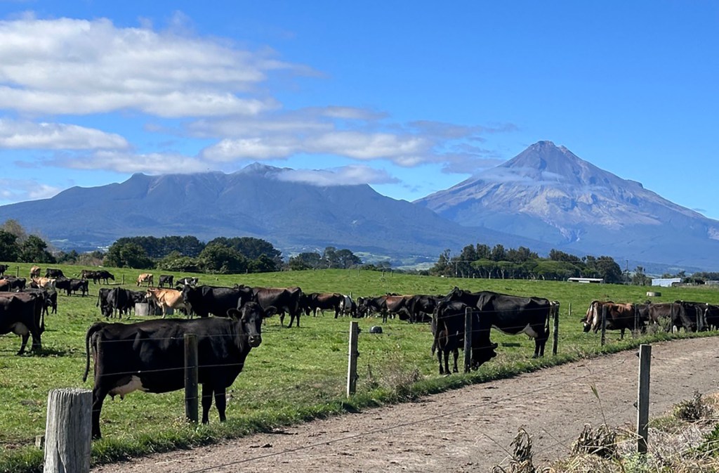
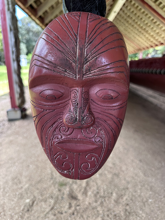
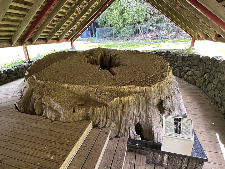
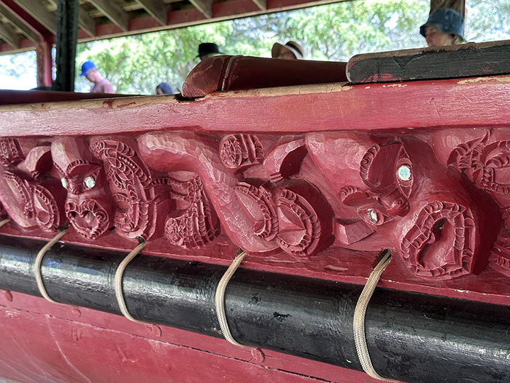
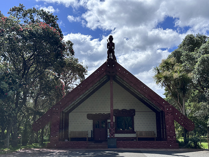
Here are some more pics:

Treaty Room

Ceremonial Waka (canoe) – used for the Waitangi Day celebration. It is carved from the Kauri Tree, one of the largest trees in the world. (Tough to get a photo of a ship this large and do it justice.)

Kauri stump from which the Waka was carved

Waka detail

Tribal meeting house were we saw the performance

All in all, it was a good trip.  We agreed that for us, it is not the most beautiful place in New Zealand.  It was nice, but pretty touristy, and it just did not speak to us the way Kaikoura did.  

How we spent our summer – Part 4 Fishing

To spend time outdoors, some people like to hike.  We go fishing.  We like to catch fish, of course.  We like eating them even more.  But for me, the more important part of fishing is being in the outdoors on a river, lake, or the ocean just enjoying the sunshine and the breeze.  We also use fishing as an excuse to travel.  

First stop Christchurch.  I had wanted to go salmon fishing.  They farm salmon here and there are places you can drop a hook into a lake or river and the salmon are there ready to bite.  I wanted to actually try to catch a wild salmon.   We learned that some of the best wild salmon fishing is near Christchurch the largest city on the South Island. As of now, Christchurch is the second largest city in New Zealand, taking the mantle from Wellington.  Known as the garden city (beautiful rose gardens), they have perfect weather for all things flowering.  In 2011, Christchurch was hit with a massive earthquake and it decimated the city.  Buildings collapsed or were rendered unusable, earth shifted, and lives were lost.  We had visited the city in 2005 but we remembered little about it.

Unfortunately, we did not do much sightseeing because we had fish to catch.  We had a five a.m. pick up time for a drive an hour south to the Rakaia River, which purportedly has the best salmon runs in New Zealand.  The river is a braided river, which means the river moves according to flooding. The river is very shallow and rocky, so we had to be taken upriver in a jet boat.  

We were de-boarded onto a spit in the middle of the river before dawn.  

The boat driver said see you in six hours and sped away.  The guide was very upbeat even though it was still dark.  We started casting into the dark water and we continued to cast for six hours with absolutely nothing to show for it but sore wrists.  I was not happy to say the least.  This was an expensive trip.  

Great setting, bad fishing

What really ticked me off was that after we returned I did more extensive research and I learned that the salmon fishery on that river has all but collapsed.  There are few fish to be had and the guide had to have known that.  I felt like it was false advertising.  Oh well, I learned something.  Do more research before we make the effort.  

We still had a nice dinner in Christchurch and we visited the International Antarctic Center.  This is an interactive museum/penguin research facility where you can learn all about living in the Antarctic.  We took a very bumpy ride in a Haggland, the all-terrain vehicle that can travel in snow, ice, general bad weather and difficult terrain including the ability to cross a crevasse.  (A crevasse is a crack in the ice surface, usually a glacier.  If you fall in, you are gone.).  

Not exactly a limo. It was a very bumpy ride/

We stood in a room to experience the equivalent of a winter storm with the cold and wind.  (It honestly did not seem all that bad.). But alas, we were not able to get into the penguin encounter.  Still, it was fun, and it was Antarctica.  You can’t go wrong there.  

Next stop Lake Taupo.  At the end of the summer we drove to Taupo, about four hours north, and home to excellent trout fishing.  In fact, this is the trout fishing capital of New Zealand.  You have two options—go fly fishing on a river or go trolling on the lake.  Seeing as fly fishing requires work and trolling requires sitting on a boat enjoying the day waiting for a to fish bite we chose sitting on our butts.  

Lake Taupo is a huge inland lake, 238 square miles and over 600 feet deep, formed in the caldera of a still active and ancient supervolcano.  It is part of a large volcanic geothermal hot spot that crosses the North Island.  Nearby are two active volcanoes and to the north geothermal springs bubble.  So the weekend was set for fishing and a visit to the geothermal hot springs spa.

Our fishing trip was a huge success.  Contrary to all fishing advice, we went out in the afternoon and pulled in four nice size trout.  We threw one back for insufficient size.  Another one got away. 

 We could have pulled in more, but I was getting concerned that we would have nowhere to store them at home.  We took two of the trout to a local butcher for smoking and we brought two whole fish home with us.  Oh, the joy of being able to eat trout.  (See my entry about the absurd trout rules here.)

The next day we headed to the Wairakei Terraces thermal pools for a soak and a massage.  

The North Island has several geothermal areas where bathing in water from hot springs is an option.  The difference here was that these pools are filled directly from the steaming springs bubbling out of the ground just above our heads.  There were four pools of varying temperatures, with the hottest pool measuring in at a scalding 105ºF.  I step in it and said, “no way.”  The people in it were so red, it looked like they had been scalded.  We opted to spend our time in the second most hot pool.  It was very relaxing and not too crowded.  

This was the hot hot pool. The water comes straight from the bubbling hot spring to a water fall at the bottom of the photo. The guards were begging people not to sit in front of it but they really were not listening. Cooler pools in the background.
someone needs to go to spelling school.

All in all, a very successful trip. We will most definitely return to Taupo when we run out of trout.

A Maori Update

People supporting protesters heading for Wellington in November.

A few months ago there was a major protest by the Maori people over a proposed bill called the Treaty Principles Bill.  You may have seen the video of the woman shouting a protest in the New Zealand parliament.  The people in that video are performing a “haka.”  You have probably seen the New Zealand All Blacks, the national rugby team, perform a haka before a game.  Haka can be a celebration, or a dance meant to intimidate.  I will explain why that was necessary to do in Parliament.  

Here is the deal.  The “All Lives Matter,” anti-woke movement has arrived here in New Zealand.  (You, dear reader, may agree with those sentiments, but I think you all know that I do not.)  These ideas do have an appeal to certain New Zealanders and it has provoked a battle over the interpretation of the 1840 Treaty of Waitangi.  

This is going to be a very abbreviated explanation of the Waitangi Treaty and the contentious history around it. The Treaty is considered the country’s founding document.  It sets forth the structure for governance, land ownership, and the protection of Maori interests in return for an agreement between the British government and the indigenous Maori.  But fun fact, there were two versions of the treaty—one written in English for the British and one written in Maori.  Alas, when you re-translate the Maori version, it does not read the same as the English version.  

The British version said the Maori recognize the full sovereignty of the British over the land.  It is unlikely the Maori understood what it meant to give up sovereignty.  In fact, the Maori version simply says the Brits get the right to govern and even governance was a foreign concept. The Maori understood from their version that they were to have full control or chieftainship over their land and treasures.  The British version says Maori have continued ownership of their land, but the Brits have what is known as preemption rights.  A preemption right means the British control over ownership giving the Crown an overarching right before all others to purchase land.  It also includes the authority to approve the sale or transfer of Maori land.  (The United States via earlier British law also retained the right of preemption in its dealings with Native Americans.)

            The ambiguity in the treaty led to internal wars between the Brits and the Maori, with ownership disputes, settler encroachment, and the loss of Maori land.  Soon the Treaty was ignored by the British altogether until the 1960s and the Maori “Honour the Treaty” protest movement began.  New Zealand came to terms with the problems the Treaty had created for the Maori, particularly land and culture loss, and sought to address the issue by enacting laws and creating the Waitangi Tribunal, which was empowered to look at breaches of the treaty.  

            Fast forward and the Tribunal and its development of principles of treaty interpretation are being called into question by a political party.  This party seeks the enactment of a new law that would govern treaty interpretation and take it out of the hands of the Tribunal.  The problem from the Maori perspective is that the proposal would wipe out any progress the Maori have made to protect and advance their culture and interests.  The supporters of the Treaty Principles bill argue that the Maori are getting special treatment and the bill is intended to make sure all New Zealanders are treated equally, hence “All Lives Matter.”  But that position ignores the Treaty’s clear statement that the Maori are entitled to govern their own land and “treasures.”  Treasures means their culture, language, and the environment. 

The fact is that the Maori have been second class citizens since the British arrived and whatever they have gained has been through long fought battles for a recognition of their right to live according to their culture and beliefs, as the Treaty guaranteed.  That does not mean they have more rights or that they are getting special treatment.  They are getting what was bargained for when they signed off on a Treaty to grant the British sovereignty over the islands.  

When the Treaty Principles bill was introduced, the Maori party in Parliament was not amused and held a “haka” protest, as is seen in the video, in front of the man who introduced and has been pursuing this legislation.  There was a major protest outside of Parliament too, where thousands gathered to support the “Honour the Treaty” movement.  

Even so, the bill was introduced, voted on, and then died.  Recently, it was announced that the same political party is pursuing another bill that would have similar impacts, by denying the treaty rights of the Maori.  Once again, a battle will be fought over this legislation. In the meantime, it is not clear that we can expect another haka in Parliament. It been proposed to punish the Maori MPs who performed the haka with suspension from Parliament that has not yet been resolved. Rest assured, there will be more confrontation and protests in an effort to save Maori rights because the “All Lives Matter” movement, even though a minority, is here.  

Earthquakes

Yes, we have earthquakes here in New Zealand.  According to Learnz.org.nz

Earthquakes happen every day in New Zealand. Approximately 14-15,000 occur in and around the country each year. Most earthquakes are too small to be noticed, but between 150 and 200 are large enough to be felt.  …

The most powerful New Zealand earthquake in recent history occurred in the Wairarapa in 1855. During this magnitude 8.2 earthquake, land moved along at least 140km of the Wairarapa Fault. Where the movement was greatest, the land shifted across more than 18 metres along the fault. Part of the nearby Rimutaka Range rose more than 6 metres. This is the biggest known movement by a single earthquake to have been recorded anywhere in the world.  [A meter is a little over three feet.  So the land shifted about 60 feet and the mountain rose about 20.]

So take that California.  You got nothin’ on New Zealand.  There is an app called GEONET which tracks New Zealand quakes, locations, magnitude and impact, letting app users rate what the quake felt like.  A quick perusal of the earthquake list shows that there is not a week that goes by that there is not some kind of earthquake somewhere in the country and there are some places in New Zealand that have earthquakes regularly, perhaps once a week. I make mental notes of the location because I would not want to live in those places. I would not say they happen often where we live, but they happen enough.

The quakes you can really feel start at about three magnitude.  Whether you feel them depends on the depth.  The shallower the quake, the more likely you are to feel it, the more likely it is to cause damage.

So what is it like?  Here is how it goes: first you sense a bit of a shake and hear a rumble.  It snaps you out of whatever you are doing and makes you a little more alert.  I often suddenly feel anxious.  Your brain starts trying to figure out what just happened.  Was that a quake?  Sometimes that is it and we all go, huh.  That was a quake.  But more often in the next second or two later, the floor feels like a rolling sea and the house vibrates from the motion of the earth beneath it, causing everything in the house to rattle and shake, the whole house seeming ready to crack from the movement.  This lasts only a few seconds.  If it lasts longer than a few seconds and is more severe, we have to get out because that might mean a tsunami and we are in a tsunami evacuation zone. We are instructed that if you are near the coast and feel a strong earthquake where it is hard to stand up or you seel a weak rolling earthquake that lasts a minute or more move to high ground or as far inland as you can, out of tsunami evacuation zones.  The rule is “Long or Strong, Get Gone.”    Are we ready?  Yep. We have go bags prepared. 

We just had a 4.1 here not long ago.  It occurred fairly close to us but because of its depth, there was only light shaking.  Think of a large truck rumbling by.  The house shook but the dishes did not really rattle.  Matt was in Wellington and did not even notice.  As I said to him afterward, it scared the hell out of me.  They always do.  Unlike a weather event, earthquakes come with no warning as to when, how strong, or for how long.  You are living in the moment and what will happen is a complete unknown.  I don’t think I will ever get used to them.  

If the quake is strong enough, heading to magnitude five and above, the dishes clatter on the shelves and the pictures on the walls are jostled.  We have never experienced one that was more than that level of impact.  At the next level, things crash and fall.  We have not been there, thank God.  During an earthquake the ground can move horizontally and vertically.  In a severe earthquake there is something called liquifaction where strong shaking causes soil that is wet, sandy, and silty to act more like a liquid than a solid.  Think about how sand moves when you step on it.  It is water saturated and it does not take much to move it.  Now imagine a building on top of sand that is shaking.  That building has a good chance of being damaged or knocked down.  

Probably the most famous recent quake was a magnitude 6.1 that hit the city of Christchurch in 2011 which resulted in 185 deaths and caused extensive damage to structures which are still being dealt with.  Numerous office buildings, churches and hotels were on the verge of or totally collapsed.  Homes were destroyed and even the sports stadium had to be torn down and rebuilt.  But that is only one in a long list of earthquakes that have impacted communities throughout New Zealand.  This country is located on numerous fault lines so it is not surprising but still it is unnerving.  

Trip to Kaikoura

            Kaikoura, located on the east coast of the South Island, is home to whale watching and bird encounters, both favorite past times.  So off we went for a long weekend.  To get to the South Island we have two options: take a plane or take the ferry.  The ferry across Cook Strait is the best and most interesting option if you are headed to the northern part of the South Island.  Drive your car on, have a seat, and watch the ocean go by for a few hours.  Nearing the port of Picton, the ferry makes its way through tree covered islands, where a few houses sit and birds fly. 

 From Picton, the drive south to Kaikoura is another two hours along a picturesque, rugged coastline with crashing waves and bird colonies along the shore.  

            Kaikoura has an abundance of marine life supported by the cold nutrient rich water that rises up from the nearby deepwater Kaikoura Canyon.  This water supports a large variety of fish, marine mammals, and seabirds.  It makes Kaikoura a whale watchers paradise with a year-round pod of sperm whales and visits from humpback and blue whales in the right season.  We have never seen sperm whales so that seemed like something to check off our unwritten list of things to do.  They also had dolphin and albatross encounter tours.  I am all about albatross, large, beautiful, and fascinating birds.  We signed up for all of the tours and could not wait to get started.  

Lobster shack

            But first we had to stop along the highway to eat crayfish.  This is not your tiny Louisiana freshwater crawfish, but a type of lobster without the large claws.  I could not find the reasoning behind it, but here in New Zealand, the lobsters are called crayfish.  To avoid confusion, they are called rock lobster in the international seafood market.  These crayfish are not only misnamed, they are wildly expensive.  So we split a large one.  No surprise that it tasted like a lobster.  Having our fill of the large crustacean, we drove on.  

            In 2016, Kaikoura was the site of a major earthquake, 7.8 on the Richter scale.  It involved movement along multiple fault lines and was felt all the way to the North Island.  It was so dramatic that the town rose three feet and the adjacent seabed rose six feet, the uplift heaving fish and marine life above the water line.  The town, sliding along the fault line, was moved three feet north.  A major tsunami later flooded the coast, killing more marine and freshwater life along the coast.  If you want to read more about the Kaikoura earthquake, go here.

Rock upheaval

            Only eight years later, the town seemed perfectly normal.  The only apparent and visible aftermath was along the coast where seabed was clearly above the water surface and large boulders were thrust out of the earth.  

            While the earthquake would not disturb our trip, the weather had something else in mind.  Once again, just like Fiji, we were thwarted by strong winds and rain.  The winds were strong enough to force the cancellation of the tours we had signed up for—a dolphin encounter and albatross frolicking.  The day was shot.  We did not have any days to spare, and we had whale watching scheduled for the next day.  But we worked the phones and figured out how to do at least one of the tours.  We were in for the albatross if we were willing to go out at 6 a.m.  Yikes!  But hey, it involved a rare opportunity to see an endangered albatross and I love those beauties.  We would have to swim with the dolphins another time.  

            It was mighty cold at 6 a.m. so we dressed for winter.  It was us and the boat captain.  He was very knowledgeable and took us straight to the birds, which was easy since they follow fishing boats.  

He tied a bag of fish to the back of our boat to lure them over.  Yes, yes, that does not seem right.  We should be watching birds in their natural state and not luring them with food.  But the reality is that they were already following the fishing boat for the chance to grab some fish trash.  Our boat was not teaching them anything different.  It is called survival and adaptation. 

            And here they come.  Wandering albatross are large, gorgeous birds that dominate the sky when they fly.  Their wingspan average about 12 feet.  When they come in for a landing, they make an entrance.  The other birds scatter.  

Royal wandering albatross

            Among our visitors were royal albatross and the rare Salvin’s albatross or mollymawk.  These birds are endemic to New Zealand and critically endangered.  Smaller than the great albatross, they have a distinct grey head.  Really quite beautiful.  

Salvin’s albatross – rare

            We also saw the endangered Hutton’s Shearwater, the only seabird to breed and nest in mountains happened to keep house in the mountains surrounding Kaikoura.  

Then to our delight, the dusky dolphins showed up and gave us a short show:

            This was a well spent morning.  Now we had to move on because we had whales to watch.  We have been whale watching many times.  Usually that involves humpback whales.  We were hoping for sperm whales.  No such luck.  The weather was keeping us from going out to further toward the canyon.  We had to settle for one lone humpback who did one roll and that was it.  It was very disappointing.  

            Well, our time was up and we had to depart for the ferry back to the North Island.  We will have to return to see the sperm whales and swim with the dolphins. 

Just some beautiful clouds seen from the ferry.

Excursions Around New Zealand – Taranaki – A Dormant Volcano and Lots and Lots of Cows

We vacationed in New Zealand for three weeks in 2005.  We traveled both islands by car, train and boat.  But we still missed a lot.  We are using the weekends to visit new places.  


 New Zealand is located along the Ring of Fire, a circular area surrounding the Pacific Ocean where the Earth’s tectonic plates are subducting or sliding under another plate causing havoc.  The Ring encompasses the West Coasts of North and South America, the east coast of Asian countries such as Japan and several islands in the Southern Ocean including Indonesia and New Zealand. (Hawaii is not along the ring, nor is Iceland.  They have their own problems.). The lands located on the Ring are home to the vast majority of volcanoes on Earth, both dormant and active.  Most earthquakes that occur in the world are located in this area too.

            New Zealand is emblematic.  As for earthquakes, it is a rare day that an earthquake is not recorded on at least one of the two islands.   New Zealand has many volcanoes, extinct, dormant and active. There are three types of volcanoes in New Zealand: cone, caldera, and volcanic fields.  A volcanic field is what it sounds like—small volcanoes spread out in an area with any one erupting haphazardly. There are currently eight active volcanoes all located on the North Island.  https://www.gns.cri.nz/our-science/natural-hazards-and-risks/volcanoes/new-zealands-volcanoes/.  

            We decided to visit one of the volcanoes.  Taranaki is currently dormant, having last erupted in 1755.  It is centered in the Taranaki region, part of the western coast of the North Island a region that juts into the Tasman Sea and which is also known as the Surf Coast. (We will get to that.).  Not quite Mount Doom, (that would be Ngauruhoe) but more resemblant of Japan’s Mount Fuji, Taranaki is a beautiful cone, often snow covered, circled by vast plains formed from previous eruptions.  

            We stayed in New Plymouth, the city nearest Taranaki, for some sightseeing.  New Zealand is rural and multi-lane turnpikes or highways do not criss-cross the country.  Getting from here to there outside of the city usually means traveling two lane highways.  This two-hour drive took us through small towns and past more cows that I have ever seen in my life.  Dairy cows mostly, milk production is a huge industry here.  There were some sheep farms.  But the Taranaki region seems to be cow central.  

            Our first stop was Egmont National Park, home to Taranaki.  The plan was to simply drive as close to the top as we could get.  It turns out, it was not close enough.  So Matt gamely agreed to hike further up the mountain to get a good vantage point of the summit.  He would go as far as he could.  

            New Zealand is a place where the weather can turn very quickly and the day went from a pleasant, warm, sunny day to a cold, partly cloudy day with a strong, brisk wind that easily penetrated our clothes.  It was cold!  We were clearly not prepared for a walk up a mountain.  The gift shop was prepared for unprepared people like us.  We bought heavier jackets and thank goodness because the higher we climbed, the more forceful the wind became. 

            Matt made it to the overlook.  He did a great job. It was a 4k hike or, in NZ jargon, a “walk” (as opposed to a “tramp” which is akin to a trek for us).   I continued further up the path to a clearing where there was a good view of the summit.  During most of the climb, being under cover of the bush, we were protected from the wind.  As I rounded a large boulder and stepped into the clearing, I was hit with a gust that nearly knocked me off my feet.  In front of me was the summit. While I hung on trying not to be bowled over by the wind, three younger adults were merrily taking photos of each other, seemingly oblivious to the cold and gale force winds.  I snapped a few photos and went back to the shelter of the trail.  


Tired of being cold, we drove back down the mountain and headed back to New Plymouth and our very warm hotel room.  

            New Plymouth is a coastal town, with aspirations to be an art center.  The most popular spot is the Coastal Walkway.  At one end is the gorgeous Te Rewa Rewa Bridge.  I took a lot of photos of this bridge.  It was just fun to look at.  

We watched the sunset over Taranaki and from the bridge.  


The next day we visited the Rotokara Scenic Reserve to check out the birds.  New Zealand has no endemic predators.  There are no coyotes or foxes, bobcats or anything that can eat a deer.  When you walk in the woods here, you’ll find only birds and a couple of reptiles. Invasive mammals such as stoats (ferret), possums, rats, and cats have made homes in the wild.  These predators prey mostly on birds.  The problem is that New Zealand birds have not evolved in an environment with predators so many of them do not fly.  Why fly if no one is out to get you?  As a consequence, they are vulnerable to these invasive species who feast on the birds and their eggs.  This kind of pressure has driven many of their birds to near extinction.  

            To combat the invasive species, there are a few parks in New Zealand that are predator free.  What does that mean?  They build very tall fences that are impassable to small animals.  The area inside the fence is then methodically cleared of predators and pests.  Once cleared, the birds thrive.  

            Here is the picture of the fence at Rotokara.  

The fence is like the Great Wall, a monstrous structure traveling over hill and dale.  What you can really see in the photo is a before and after view of the land, pre- and post- agricultural clearing by the settlers.  A large part of this country was cleared of Native bush to make way for agriculture.  Inside the fence you see the native bush, and outside the fence, farm and grazing land.  It is hard to believe the work that clearing this land must have entailed.    

            On the walk around the lake, we managed to see a hihi, or stitch bird.  They can be elusive, so we were happy to check them off the list.  We also saw whiteheads and lots of other species.  The most fun is with the North Island robins.  

 They are small black and white birds birds that look nothing like our red breasted friends. They will come out of the bush to look at you curiously and say hello, and sometimes follow you down the path. As an aside, the birds in New Zealand are generally not colorful. They are mostly black and brown or dull colors like yellow or green. All meant to blend into the bush.  

The next day we drove home along the surf coast. with its location, you would imagine there is a lot of surfing here. But the coasts are pretty rough–lots of rocks and hazards, and the seabed is not accommodating to big waves. But here in Taranaki, beautiful waves abound. We met a group of surfers, young boys heading to the beach. We followed them and chatted about America. They soon split off and headed for an area with an open beach. We watched from a distance.

And did I mention cows??? Here they are along the surf coast.